
- This event has passed.
Beginner-Friendly GIS for Land Trusts
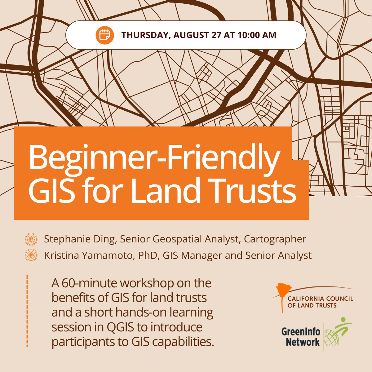
CCLT is offering a two-part workshop in partnership with GreenInfo Network to provide support for land trusts to further develop their internal GIS capabilities and learn how to include their protected lands in California’s 30×30 initiative, a statewide program to conserve 30% of the state’s lands and coastal waters by 2030.
This first workshop on Thursday, August 27, at 10:00 AM is open for individuals from land trusts with minimal GIS skills to increase their familiarity and learn about core GIS tools. This 60-minute workshop will involve a presentation on the benefits of GIS for land trusts and a short hands-on learning session in QGIS, an open source GIS software package, to start to familiarize participants with GIS capabilities.
Presenters: Stephanie Ding (Senior Geospatial Analyst, Cartographer) and Kristina Yamamoto, PhD (GIS Manager and Senior Analyst)
While GIS experience is helpful, there are avenues for data submission that do not require the use of GIS software. Registrants are welcome to attend one or both sessions, depending on experience and interest.
This training is supported with funding from the California Wildlife Conservation Board.